A heartfelt GPS doodle for Remembrance Day 2015
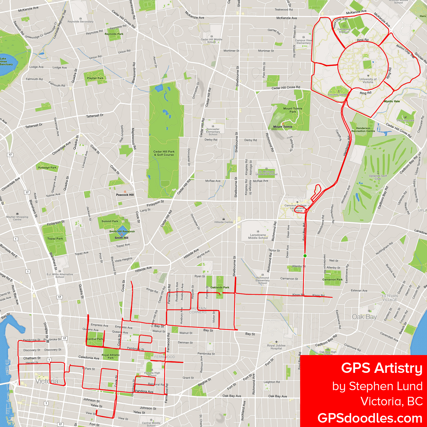
This is my Remembrance Day GPS doodle – a tribute to soldiers and service members who made the ultimate sacrifice.
I biked the route on November 10, and CTV News Vancouver Island – who met me mid-doodle to interview me for a story about my GPS art – unveiled it yesterday in a story on their website and on their evening newscast.
We started the interview at the bottom of the W and, as they wanted some footage of me on my bike, we ended up at the top of the L. So as not to botch my half-done doodle, I paused my Garmin for the interview. But at the top of the L, they asked for a close-up of me pressing START – which produced an unwanted line connecting the W and L. I removed the line from the main image here, but this is what you’ll see if you look at the ride on Strava.com…

“Lest We Forget”…with a little mid-interview glitch
See it on Strava *
* Note: The GPS points will render correctly only if you are logged in at Strava.com


Pingback: Victoria’s GPS doodler on CTV News | Sketchbook of a GPS Artist